Seismic Refraction for Rock Delineation
Client: Confidential (Maritime Sector)
Challenge
The project area contained shallow gas pockets that caused complete SBP signal failure, preventing rock depth interpretation. Due to the large survey extent, deploying dense geotechnical boreholes was not feasible, leaving an information gap critical for dredging design and rock quantity estimation.
Geomardy Approach
Geomardy executed an advanced seismic refraction survey tailored for gas-affected environments. By using dense receiver spacing, high-energy sources, and multi-layer velocity inversion algorithms, our team successfully detected the true rock interface where SBP could not penetrate. Integrated validation was performed using limited borehole data and bathymetry.
Outcome / Metrics
- Accurately delineated rock depths across the entire project area. •
- Delivered rock quantity estimates for engineering and dredging planning.
- Suitable for multi-environment use (harbor, open sea).
- Achieved strong correlation with existing borehole data.
- Eliminated need for dense borehole campaigns, optimizing time and cost.
Tech Stack & Deliverables
Seismic refraction arrays, multichannel recording system, velocity inversion workflow, 3D rock modelling, GIS-ready rock depth layers, and a detailed rock quantity report.
Gallery
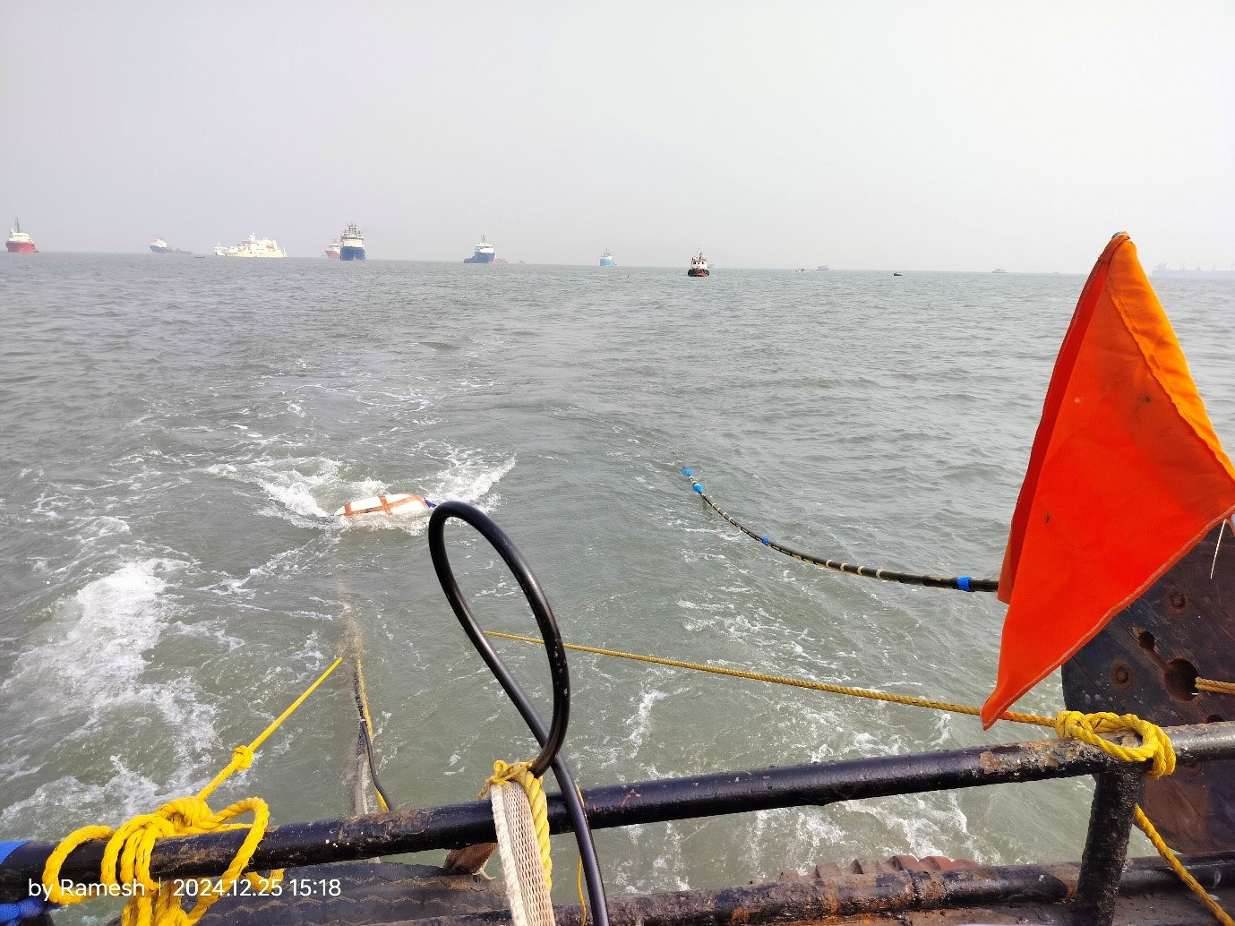
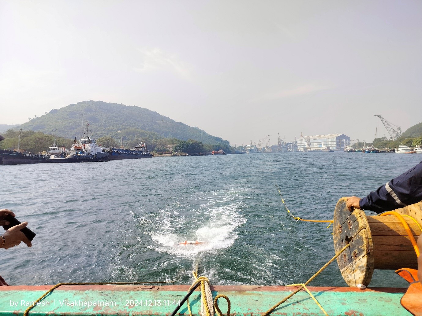
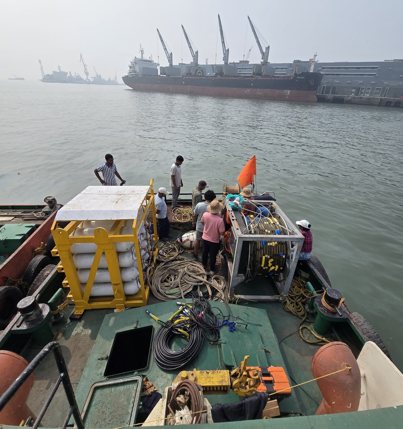
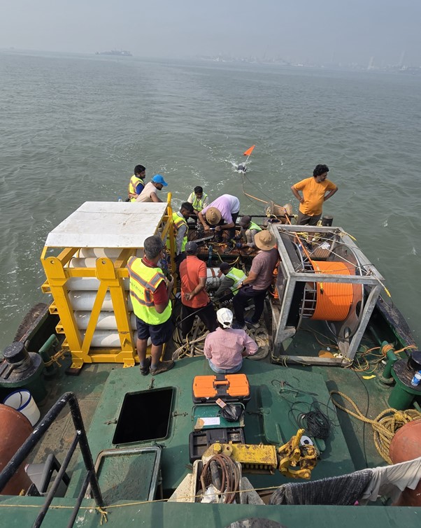
Use horizontal scroll or swipe to view images.