Digital Situational Awareness Tools for High-Value Maritime Infrastructure
Client: Confidential (Defence Sector)
Challenge
The naval facility was a highly secured zone with strict data-handling protocols. Existing drawings of underground utilities and critical infrastructure were incomplete or unavailable, and validation required coordination with multiple stakeholders. The absence of an integrated, reliable digital view of the facility limited planning efficiency and created operational blind spots.
Geomardy Approach
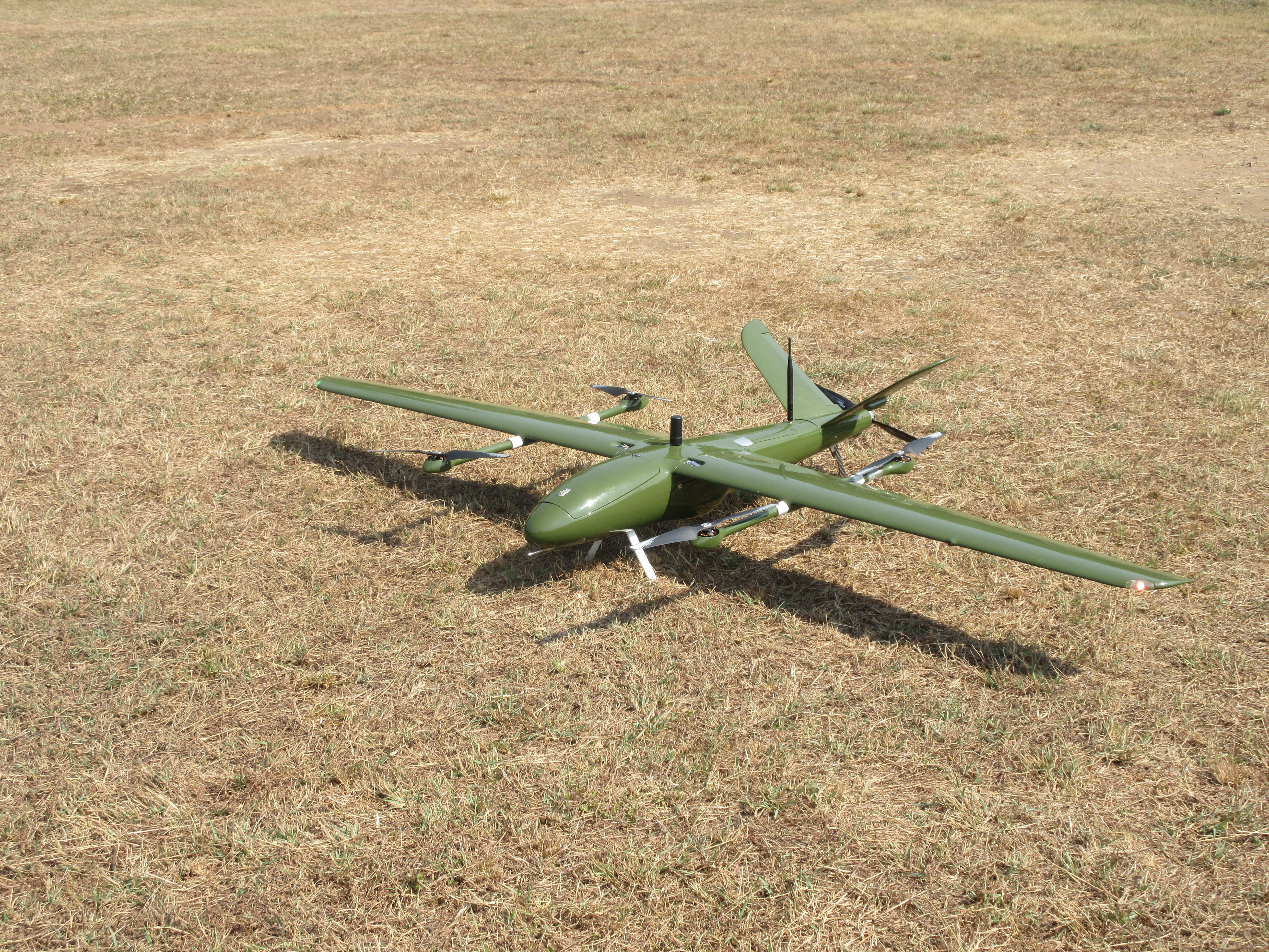
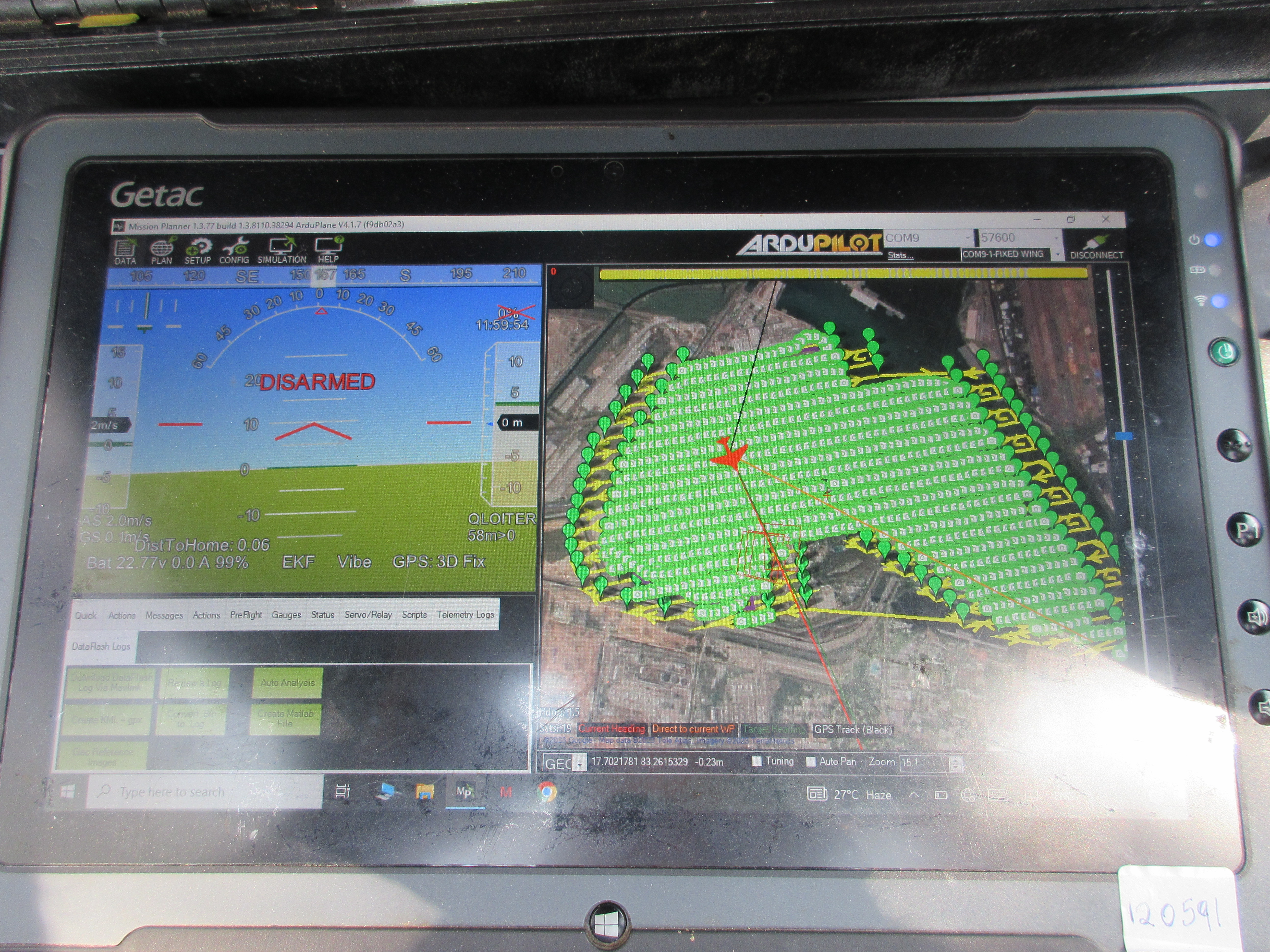
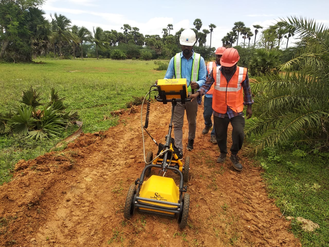
Geomardy deployed an indigenous digital situational awareness workflow tailored for secure defence environments. Indian-made drones were customised for fully offline operation, ensuring all data was stored locally with no internet connectivity. High-resolution terrain, structural, and utility data were processed into a secure 3D environment. A bespoke software interface was developed for the client, enabling 3D visualisation, asset interrogation, and infrastructure planning tools. The platform was designed to support interoperability with BIM and other engineering systems.
Outcome / Metrics
- Complete 3D visualisation of the entire naval asset.
- Accurate mapping of surface and subsurface utilities.
- Faster and more informed infrastructure planning
- Simplified maintenance and asset-management workflows
- Outputs readily exportable to BIM and other platforms
- Reduced dependency on manual surveys or fragmented legacy drawings
Tech Stack & Deliverables
Tri-axial fluxgate sensor arrays, multi-channel DAQ systems, advanced signature analysis algorithms, predictive magnetic modelling tools, magnetic signature maps, and a comprehensive MSMSE evaluation report.
Gallery
Use horizontal scroll or swipe to view images.